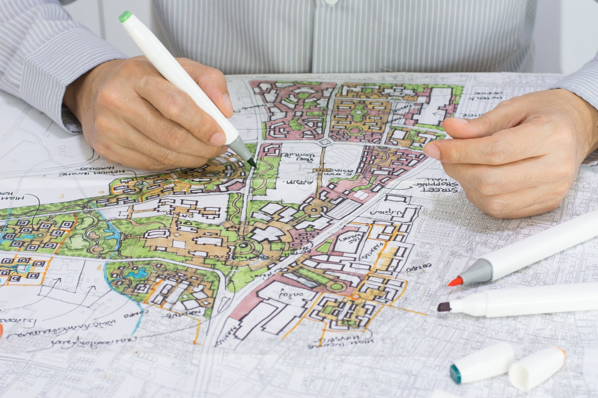
In an article published in the journal Scientific Reports, researchers from South Korea and China demonstrated how deep learning techniques can enhance urban planning and smart city development. They utilized Bayesian regularization along with deep learning to design effective neural networks for urban applications. Moreover, they utilized graphical analysis to visualize and interpret the workings of the models.
 Study: Deep Learning and Bayesian Regularization for Urban Planning. Image credit: p-jitti/Shutterstock
Background
Deep learning is a branch of artificial intelligence that utilizes neural networks to learn from complex and large-scale data. These computational models, inspired by the human brain, consist of layers of interconnected nodes that process and extract patterns from data. Deep learning has demonstrated remarkable capabilities in various fields, such as image recognition, natural language processing, and speech synthesis.
In urban planning, deep learning can improve how cities are designed and managed. Urban areas have evolved into complex ecosystems where data and technology converge to create more efficient, sustainable, and livable environments. Integrating digital innovation into urban planning and management is at the core of this transformation, with deep learning being one of the prominent technologies driving this evolution.
About the Research
In the present paper, the authors combined Bayesian regularization techniques with deep learning to enhance the reliability and performance of neural networks developed for urban planning applications. Bayesian regularization introduced a probabilistic framework to neural networks, improving their generalization ability and quantifying their predictive uncertainty. It helped overcome challenges and limitations such as overfitting, limited interpretability, and computational complexity.
The study also utilized graphical analysis as a crucial tool for visualizing and interpreting the internal workings of deep learning algorithms for urban planning and development. Graphical analysis could uncover how Bayesian regularization influenced neural network architecture and enhanced interpretability. Through graphical representations, network visualizations, and decision boundary analysis, the authors provided a deeper understanding of the mechanisms and outcomes of deep learning models.
The researchers focused on four urban domains: traffic prediction, urban infrastructure, data privacy, and safety and security. For each domain, they implemented and evaluated a neural network model that incorporated Bayesian regularization and graphical analysis. Moreover, they used various datasets, such as traffic flow, urban infrastructure, facial recognition, and surveillance data, to train and test the models.
Research Findings
The authors highlighted the effectiveness and benefits of deep learning, Bayesian regularization, and graphical analysis for urban planning.
- The traffic prediction model achieved high accuracy and reliability in forecasting traffic flow and congestion, leveraging recurrent neural networks and Bayesian regularization. Graphical analysis unveiled the model's ability to capture temporal dependencies and variations in traffic data, while Bayesian regularization enhanced stability and generalization.
- In optimizing resource allocation, the urban infrastructure model utilized convolutional neural networks and Bayesian regularization to analyze satellite and aerial imagery to classify land use patterns. It quantified prediction uncertainty, facilitating the assessment of scenario trade-offs and risks. Graphical analysis depicted the model's feature extraction from image data and illustrated Bayesian regularization's influence on network architecture and complexity.
- For data protection and privacy enhancement in smart cities, the privacy model employed generative adversarial networks and Bayesian regularization, generating realistic synthetic data like facial images for training and testing without compromising individuals' privacy. It estimated the likelihood of synthetic data distinguishability from real data, aiding in quality and security evaluation. Graphical analysis illustrated synthetic and real data discrimination and showed Bayesian regularization's impact on model balance and convergence.
- Regarding safety and security, the model utilized convolutional neural networks and Bayesian regularization to enhance surveillance and threat detection in urban environments. It detected objects or activities of interest in real-time video footage, including vehicles, pedestrians, or anomalies, providing confidence intervals for detections to assess model reliability and accuracy. Graphical analysis illustrated the model's visual data processing and highlighted Bayesian regularization's role in performance enhancement and robustness.
Application
The major applications of the proposed techniques for urban planning and smart city development include:
- Traffic management: The traffic prediction model offers applications for optimizing traffic management systems, such as adaptive traffic signal control, dynamic routing, and congestion reduction. It aids urban mobility planning by facilitating the design and evaluation of transportation networks, policies, and strategies.
- Resource management: The urban infrastructure model contributes to optimizing resource management, such as allocating water, electricity, and transportation infrastructure to enhance sustainability and efficiency. It supports urban development planning by determining optimal locations and designs for buildings, parks, and other amenities.
- Data security and privacy: The privacy model enhances data security by generating synthetic data for training and testing purposes without compromising individuals' privacy. It enables data sharing and collaboration among different stakeholders without compromising data quality or integrity.
- Public safety: The safety and security model improves public safety and surveillance in urban environments by detecting and identifying threats, anomalies, or emergencies in real-time video footage. It supports situational awareness and emergency response by providing timely and reliable information to authorities, first responders, and citizens.
Conclusion
In summary, the researchers contributed to advancing the state-of-the-art in urban planning and smart city development by leveraging deep learning, Bayesian regularization, and graphical analysis. However, it also acknowledged limitations and challenges and suggested directions for future research, such as exploring additional urban domains, addressing data quality and availability issues, and overcoming computational and practical challenges related to the deployment and maintenance of neural network models in smart cities.