By fusing satellite data, ground cameras, and advanced AI, FROM-GLC Plus 3.0 delivers unprecedented daily visibility into Earth’s changing landscapes, capturing the environmental shifts traditional systems miss.
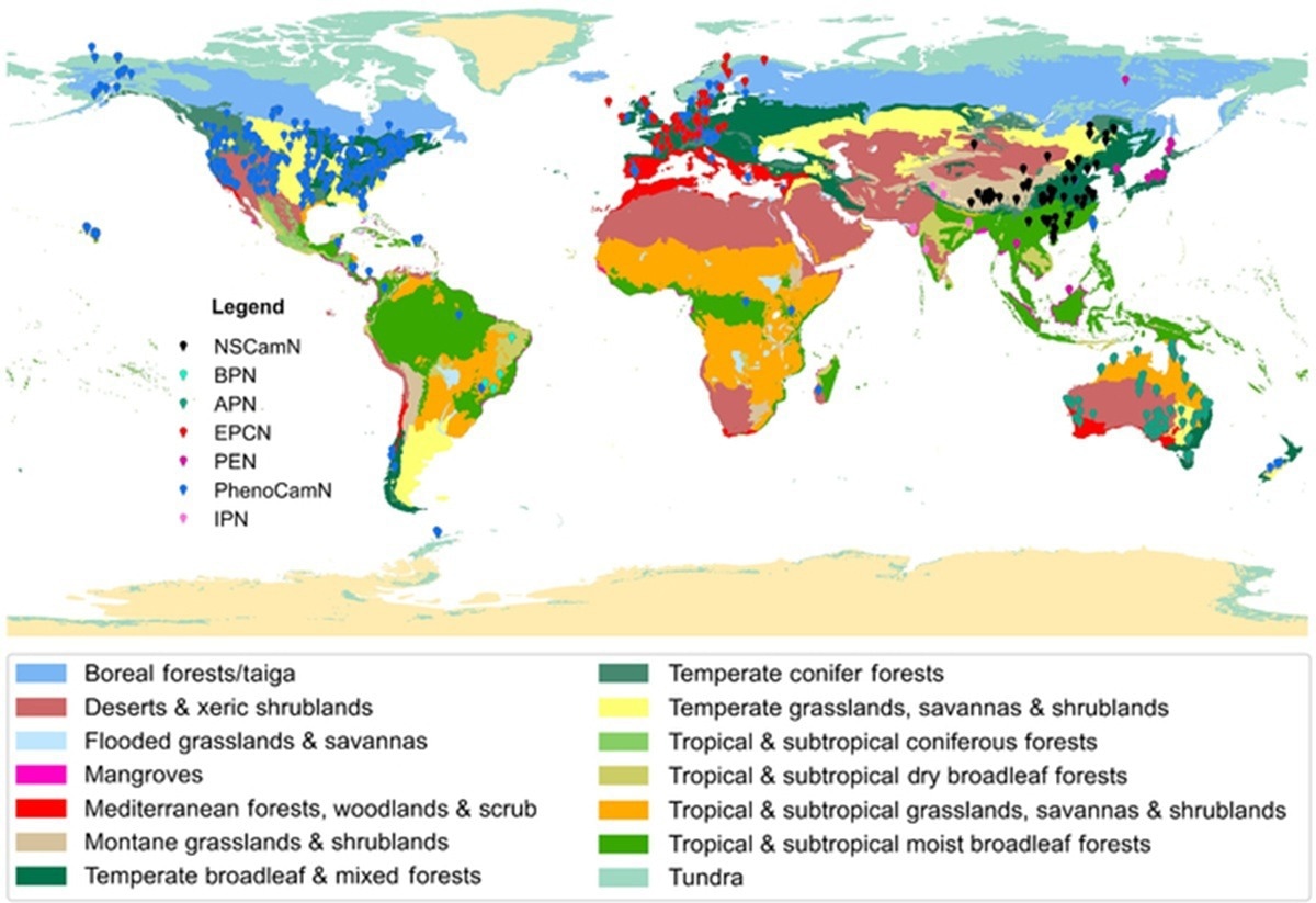
Global distribution of near-surface camera networks.
Accurate land cover mapping underpins biodiversity protection, climate adaptation, and sustainable land use. Despite advances in remote sensing, satellite-only approaches remain limited by cloud cover, revisit intervals, and the lack of ground-truth data. Dynamic products such as Dynamic World have improved timeliness but still struggle to capture sudden transitions or validate their results. The rapid expansion of near-surface camera networks provides an opportunity to enhance monitoring by adding localized, high-frequency observations. However, challenges such as perspective mismatch and limited coverage persist. Based on these challenges, new research is needed to integrate multimodal observations and AI tools for real-time land monitoring.
New Research from Tsinghua University
Researchers from Tsinghua University and collaborators published their study in the Journal of Remote Sensing. The team developed a framework that merges satellite imagery, near-surface cameras, and advanced AI segmentation models. This innovation addresses persistent barriers in land monitoring, including cloud interference and limited revisit times, offering a system capable of near-real-time global land cover mapping for applications ranging from agriculture to ecosystem conservation.
Performance and Capabilities of FGP 3.0
The study demonstrates that FROM-GLC Plus 3.0 surpasses previous products in both accuracy and temporal density. By reconstructing dense daily NDVI time series from camera observations, the framework achieved an average accuracy of 70.52%. It captures abrupt transitions, such as snow accumulation in North America and wetland expansion in Europe, that satellite-only systems failed to detect. Additionally, the integration of the Segment Anything Model (SAM) enables parcel-level mapping with reduced noise and sharper boundaries, providing high-resolution insights into croplands, urban areas, and natural habitats. Together, these innovations make FGP 3.0 a flexible, scalable, and timely solution for tracking environmental changes worldwide.
Three Modules for Comprehensive Monitoring
The framework integrates three modules: annual mapping, dynamic daily monitoring, and high-resolution parcel classification. Annual mapping combines Sentinel-1 SAR, Sentinel-2 spectral data, and near-surface camera inputs using automated spatial matching algorithms to reconstruct daily NDVI time series. This enhances accuracy across diverse ecosystems, particularly in cropland–shrubland mosaics.
For dynamic monitoring, the system uses migrated sample sets and reconstructed images to detect land transitions at a daily scale, capturing short-term events often invisible to satellite-only approaches. High-resolution mapping leverages SAM, implemented through the open-source samgeo tool, to segment parcels and reduce salt-and-pepper noise, producing cleaner and more cohesive classifications. Tests in China showed the framework accurately tracked crop rotations of winter wheat and maize at the parcel level. Compared to previous versions, FGP 3.0 reduces misclassification, improves boundary precision, and scales effectively from regional to global levels.
Expert Insights and Use Cases
"Satellite-only products often miss the rapid shifts that shape our environment," said Le Yu, corresponding author of the study. "By fusing multimodal data with advanced AI models, FROM-GLC Plus 3.0 delivers daily, accurate insights at both global and parcel scales. This technology provides not only better environmental understanding but also practical support for agriculture, disaster preparedness, and sustainable land management."
Enabling Global Environmental Intelligence
The study combined Sentinel-1 radar, Sentinel-2 multispectral imagery, and dense near-surface camera data. Automated spatial matching aligned oblique camera views with satellite pixels, while regression models reconstructed daily NDVI sequences. Random Forest classifiers were applied for land cover classification using multimodal temporal features. For dynamic updates, migrated samples ensured consistency across time periods. High-resolution parcel mapping employed the SAM model within samgeo, enabling flexible segmentation of croplands, urban structures, and water bodies. Validation was conducted across eight ecologically diverse sites on multiple continents.
FROM-GLC Plus 3.0 sets the stage for next-generation land monitoring. Its ability to capture daily, fine-scale changes enables early warning for floods, droughts, deforestation, and urban expansion. Agricultural applications include tracking crop health, rotation, and water stress at the field level, while conservationists can use the system to monitor biodiversity habitats and land degradation. As near-surface camera networks expand and AI models evolve, the framework could become a cornerstone for global environmental intelligence, supporting climate resilience and sustainable land-use strategies.
Source:
Journal reference:
- Le Yu, Zhenrong Du, Xiyu Li, Jiatong Gu, Xinyue Li, Liheng Zhong, Duojiweise, Hui Wu, Qiang Zhao, Xiaorui Ma, et al. FROM-GLC Plus 3.0: Multimodal Land Change Mapping with SAM and Dense Surface Observations. J Remote Sens. 2025;5:0728.DOI:10.34133/remotesensing.0728, https://spj.science.org/doi/10.34133/remotesensing.0728
 AI Moderation Systems Show Striking Inconsistencies In Detecting Hate Speech